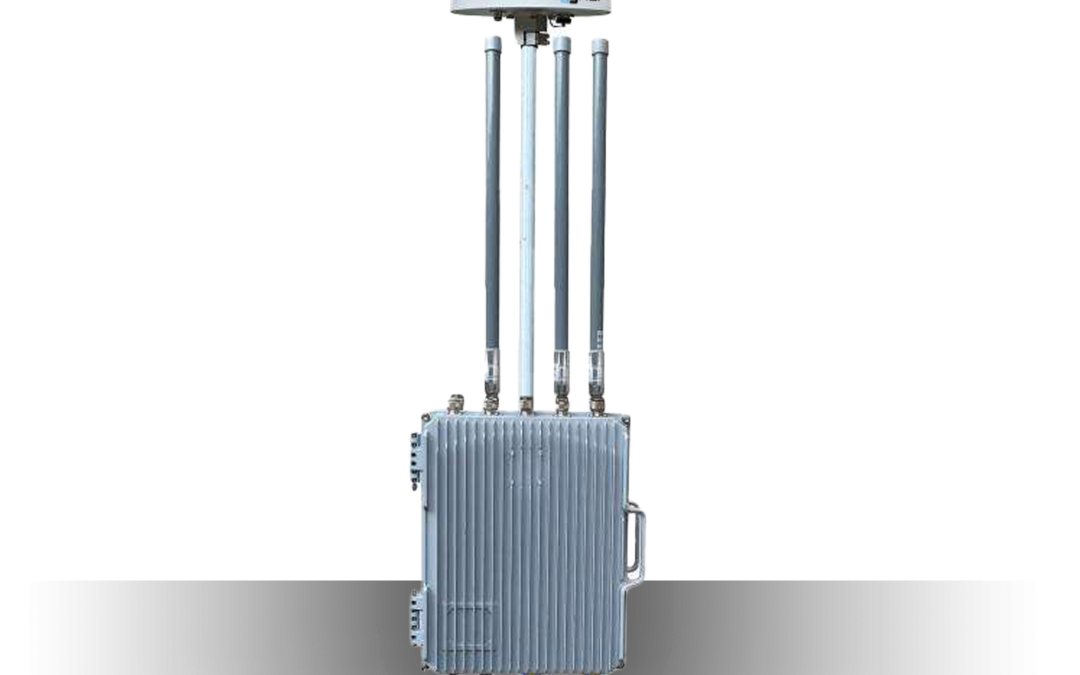
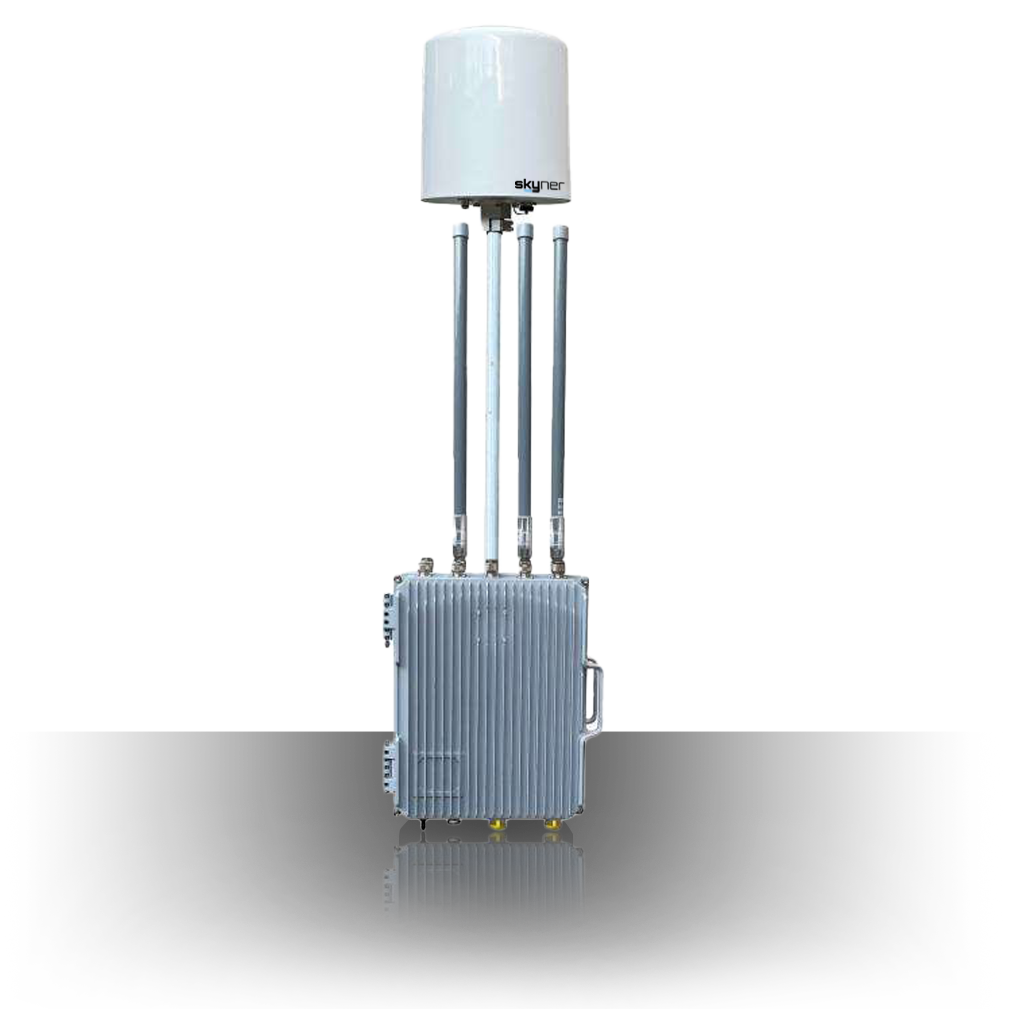
Skyner Base SD
About this item:
All-in-One system has drone signal detection and recognition functions, and the device can support the detection of DJI, Autel, Hubson, Parrot, 3DR,Zhendi, Wi-Fi drone, DIY drone (analog image transmission), etc. With geo location function, it can display the working frequency band, brand number, electronic fingerprint ID (serial number of the fuselage), bearing, distance, latitude and longitude, flight altitude and other information of the drone in the detection list, and it can display identification icons and flight tracks on the electronic map.
Specifications:
Appearance and Mechanical Structure
The operation of switches, buttons, and knobs should be flexible and reliable, without blocking, parts should be tightened without loosening, and the equipment power safety device should be placed on the front panel to facilitate inspection and replacement.
The device is consisted with drone detection equipment, DF antenna, and antenna array.
Size
Width: 330±2mm
Height: 190±2mm
Weight
Detection & Direction Finding & Geolocation (Optional)
With geolocation function, it can display the working frequency band, brand number, electronic fingerprint ID (serial number of the fuselage), bearing, distance, latitude and longitude, flight altitude, and other information of the drone in the detection list, and it can display identification icons and flight tracks on the electronic map (Optional).
With the remote controller (pilot) detection and geolocation function, the remote controller can be displayed in the detection list.
(Pilot) latitude and longitude, distance, bearings, and other information, and can display identification icons and movement tracks on electronic maps (Optional).
Drone Library
Support to detect DJI (including Mavic 3, Mavic 2, Mavic, Mini2, Mavic Air, Mavic Air2, Mavic miniSE, Mavic Pro, Mavic Air2S, Mavic mini, Phantom 4Pro, Phantom 4ProV2.0, Genie 4, Tello, and other models), Autel, Xiaomi, Dahua, Hikvision, FUTABA, Hubson, EHang, Yuneec, Zerodu, Weili, Zhendi, Huakor, Sima, Cornerstone, Yunke, Chasing Cloud, Pudu, Holystone, AEE, Feipai, Youdi, Pegasus, Keweitai, Dagong, Corbett, UAV signals from JOUAV, Parrot, 3DR, CFLY, TW, and other brands.
Sensitivity
Detection Height Test
0~1000m
Detection Angle
Horizontal direction: 360°
Pitch direction: -90°~ +90°
Positioning Accuracy
Positioning error for drones ≤10m
Positioning error for pilots ≤10m
Refresh Time
Detection Time Test
Detection Success Rate
Under the environmental conditions of no obvious rain/snow/fog, no obvious shelter, and no obvious electromagnetic interference, the detection success rate ≥ 99% (Number of success probes/total*100%).
False Alarm Rate
Directional Finding Accuracy
Positioning Accuracy Test
Under the conditions of no obvious rain, snow, or fog (no obvious shelter and no obvious electromagnetic interference), the positioning error of the sample to the flight height of the drone should be less than 1m.
Under the condition that there is no obvious rain, snow, or fog (no obvious shelter, no obvious electromagnetic interference), the longitude and latitude coordinates error of the pilot (remote control) should be less than 5m.
Same Drone Intrusion Detection
Within a certain period of time, when the device detects and identifies the same drone intrusion multiple times, it will automatically fuse into a single piece of information.
For multiple intrusions of the same drone identified, the device will automatically integrate the intrusion information of the drone, and the electronic fingerprint ID of the drone in multiple records should be the same.
Multi-Target Recognition
The types of drones should be over 10 QTY.
Pilots (non-DJI brand) ≥10.
Multi-Target Positioning
Trajectory Tracking
With the trajectory tracking functions, it can display the detected flight trajectory of each drone and the movement trajectory of the remote controller (pilot) in different colors.
The number of drone trajectories that can be displayed at the same time over 11 qty.
Positioning Capabilities
Record Storage
Power Supply
AC 100V~240V, can be connected by fixed power supply or UPS.
Power Voltage
Power Consumption
15W
Endurance
Electrostatic Discharge Immunity
Contact Discharge: ±6kV;
Air Discharge: ±8kV;
During the test, the tested sample should not be damaged, malfunctioned, or changed in state, and the equipment should work normally after the test.
Radio-Frequency Electromagnetic Field
Sweep frequency: 80MHz ~ 1000MHz
Field strength: 10V/m
Amplitude modulation: 1kHz, modulation depth 80%
During the test, the tested sample should not be damaged, malfunctioned, or changed in state, and the equipment should work properly after the test.
Electromagnetic Environment
0.5m away from the front, back, left, and right of the sample, should meet:
When the transmitting frequency ranges from 30MHz to 3000MHz, the square mean root value of the environmental electric field intensity should be less than 12 V/m.
When the emission frequency ranges from 3000MHz to 6000MHz, the square mean root value of the environmental electric field intensity should be ≤ 0.22f1/2V /m.
High Temperature Working
70℃, 4h, proper functioning.
Constant Humidity and Heat (Storage)
Salt Spray Test
Salt-spray Environment:
Concentration: 5%; pH: 6.5~7.2;
Temperature: 15℃~35℃; Duration: 2h;
Hot and Humidity Environment: 40℃, Relative Humidity: 93%, Duration: 22h;
Proper functioning after the test.


